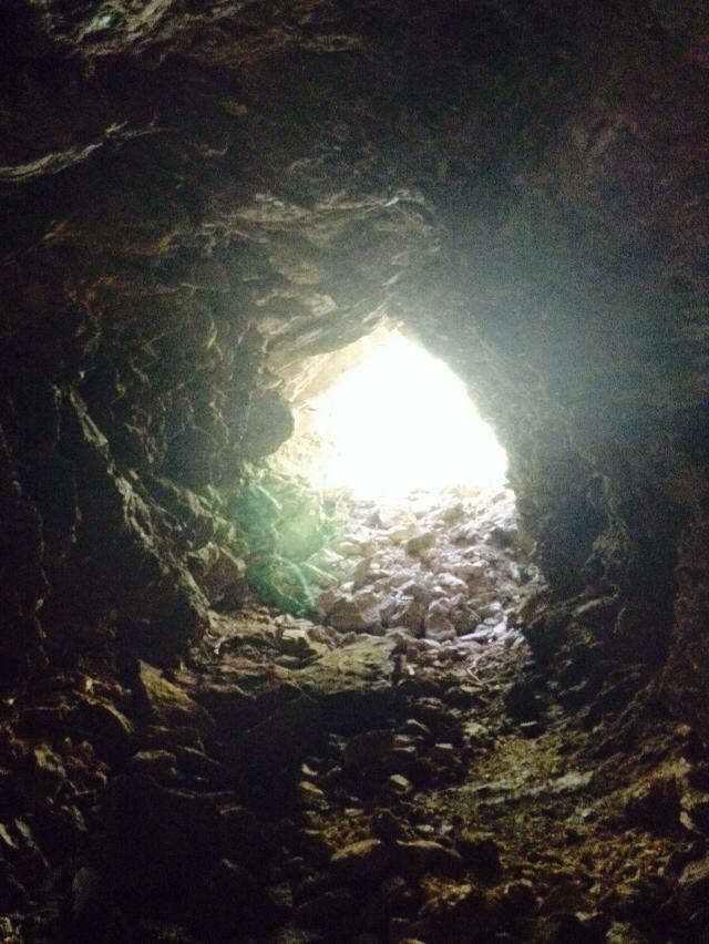
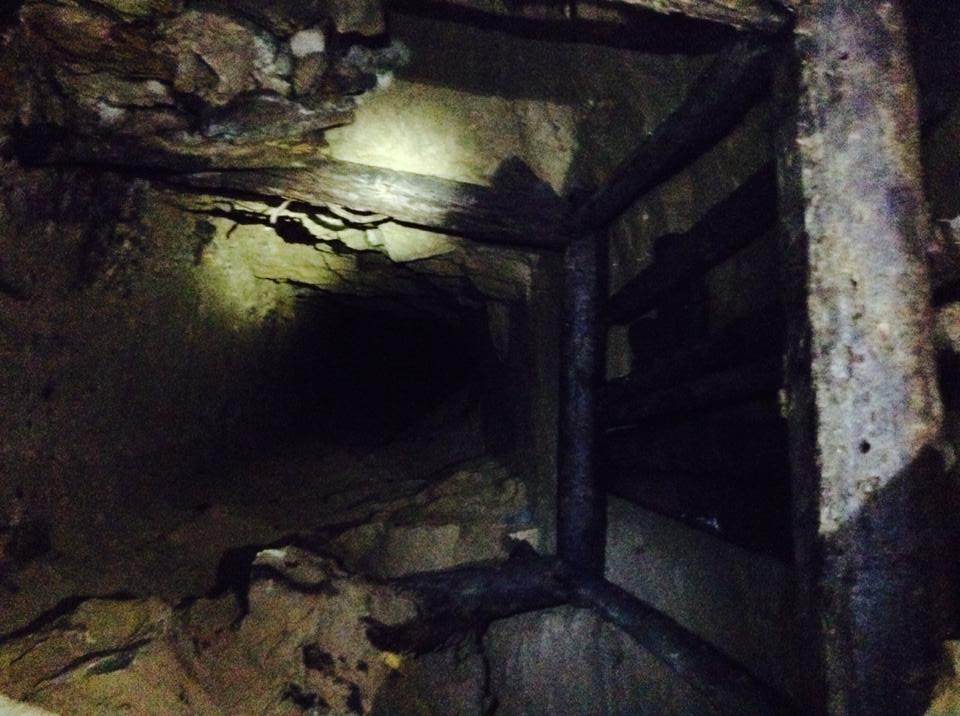
This trip has been one of my favorites. I read about this mine on a few other blogs, and had to go. The pictures I had seen of formations were super cool. They were too good to miss out on before cold weather. The mine itself was very extensive with many different levels and entrances. The whole top of the ridge is dotted with shafts. Some of the shafts connect to form the big part of the mine, but many others are smaller shafts that end a little ways in.
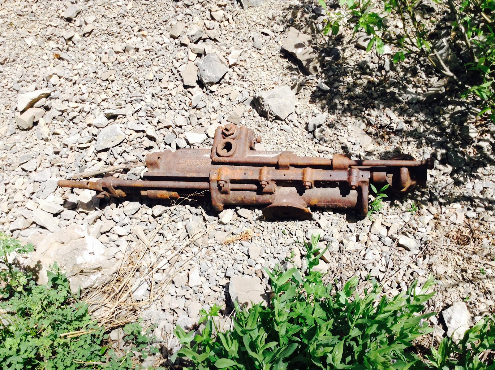
The mine part of the system was quite interesting. There are people who call this mine "The Lost Josephine." Personally, looking at the size of the mine, the charcoal markings in it, and the old timbers, I would say it was mined around the early 1900's. There are a few dates in there, ranging from 1914 to 1944.
Normally, I would try and explain what going into the mine/cave was like (along with rough measurements and details) but this system is so extensive, that I wouldn't do it justice. You have to go see it yourself.
Before I went, I read up on the mine. While mining, the miners apparently broke into a cave system. The cave part of the mine was so amazing. The pictures I took can only slightly give credit to the beauty of the cave.
Throughout the cave and mine, there were many beer bottles and cans. It was definitely sad to see the liter around, and there was too much to take it all out. In the cave, there was quite a few broken formations. I suspect they were broken by inexperienced cavers who do not recognize the amount of time it takes to form these structures. There were also orange tags starting at 31 and going backwards into the cave. They were located at major formations with broken formations. They might have been put there by the Wasatch Grotto to mark the places for restoration.
The formations at the start of the cave were smaller, but as I got further back in they grew bigger. I got to a point where the whole room was a formation. All the walls were covered. This room was the most significant. Just past that room, there was a drop and I didn't have rope, so I turned back and decided to save it for later.
The layers of the formations were really thick. You could see the year to year growth. It was super cool.
I am really excited to go back. Before I do, I am definitely doing more research and hoping to find that someone has mapped the cave and the mine system. The formations in this cave are the best I have seen in smaller and unknown cave systems.